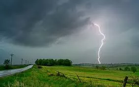
Scattered thunderstorms are expected to develop over portions of western Iowa during the early evening hours today, with additional storms moving in from the west during the early morning hours of Tuesday.
Although a tornado cannot be ruled out, large hail, locally heavy rains, and damaging winds are the most likely threats with the stronger storms.
Then on Tuesday, additional storms are expected to develop along a cold front during the afternoon. The entire broadcast area is under an Enhanced Risk for severe weather Tuesday, which is a 3 out of 5 on the scale.
Tornadoes, damaging winds, locally heavy rains, and large hail are all possible Tuesday.


